1 Track ‘n’ Trees
- Dave Goble

- Apr 5, 2020
- 1 min read
Updated: Jan 24, 2024
The view northeast from a small road bridge in Hampton Hill where Burton Road crosses over the railway tracks.

This stretch of rail track looks unremarkable today as it curves eastwards into the distance towards Twickenham and London, but wind the clock back 170 years or so to the 1850s and 60s, and the laying of it by Thames Valley Railway, and ultimately it’s opening in 1864, served as a catalyst for enormous change in and around the area. As did other major projects around that time, including notably the building of Hampton Water Works, which opened in 1852. This all led to the area being flooded, (ahem), by labourers, so resulting in a predictable increase in demand for food, and a burgeoning of local nurseries for the production of it.
Increased demand extended, unsurprisingly, to other things including accommodation, and ale. I’ll leave it to a later post on nearby St. James church titled, somewhat brutally, “A Barn of a Church in a Wilderness of a Parish”, (not my words), to elaborate further on the impact felt in the area, including the siting of a gibbet a couple of hundred yards down Burton Road to the right in the photograph above, where it meets Hampton Hill High Street. This was aimed at discouraging the highwaymen and footpads, (a robber or thief specialising in pedestrian victims), that frequented the area.
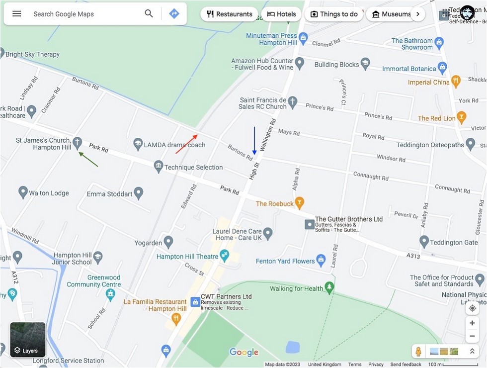
Red arrow: Road bridge
Blue arrow: Rough location of gibbet
Green arrow: St. James’ Church


Comments